Thu 30th April 2026 16:45:05
Peebles Weather - Trends Graphs
Daytime temperatures are in direct sunlight so may be higher than official air temperature values.
As with any other website, we log your IP address and browser type in the server logs for diagnostic reasons. Cookies are used to record visit time and gauges preferences. No personal information is stored or processed.
All times are in local time (GMT, or BST in summer) unless specified.
2026/04/30 14:20 EGPH 301420Z 06014KT CAVOK 15/09 Q1023
Warning: Undefined variable $uomTemp in C:\xampp\htdocs\wx\statheader.php on line 38 20.9 |
Warning: Undefined variable $uomRain in C:\xampp\htdocs\wx\statheader.php on line 39 0.0 |
Warning: Undefined variable $uomRain in C:\xampp\htdocs\wx\statheader.php on line 40 0.0 |
Warning: Undefined variable $uomRain in C:\xampp\htdocs\wx\statheader.php on line 41 0.0 |
4.6 mph | 6.9 mph | Warning: Undefined variable $uomBaro in C:\xampp\htdocs\wx\statheader.php on line 44 1021.5 |
40% |   |
 |
|||||||||||
| Station | Warn | Rain | Snow | Flood | Wind | Ltng | Heat | Cold | Glob | Moon | Temp | Rain 1h | Rain Thu | Rain 24h | Wind | 10m Gust | Pressure | Hum |  |
|
| m | Waxing Gibbous | Comfortable | F1-S | F:- A:- Kp:- SSN:- |
Warning: Undefined variable $lang in C:\xampp\htdocs\wx\meteo.php on line 108
Warning: Undefined array key "" in C:\xampp\htdocs\wx\meteo.php on line 116
Warning: Undefined variable $htxt in C:\xampp\htdocs\wx\statheader.php on line 105
Latitude N 55° 38' 27" Longitude W 03° 10' 15" Elevation 524 ft
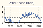
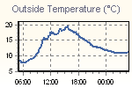
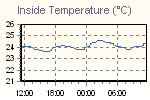
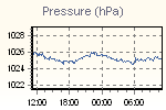
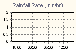
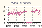
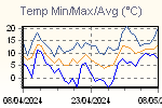
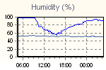
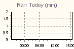
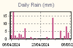
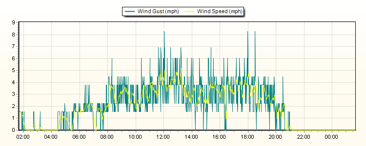
These graphs present the temperature, pressure, rainfall, and wind speed trends for the last 24 hours.
The thumbnail graphs are sampled every ten minutes. Click on a thumbnail to display the corresponding larger graph in the panel above it. The large graphs are sampled every minute.
| Click on a thumbnail to show a large graph in the panel below. | ||||
 |
 |
 |
 |
 |
 |
 |
 |
 |
 |

|
Page updated |
| © Sandaysoft 2008 | |
| Cumulus software v by Steve Loft |
